|
7 July 2005
|
|
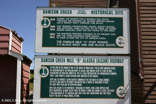
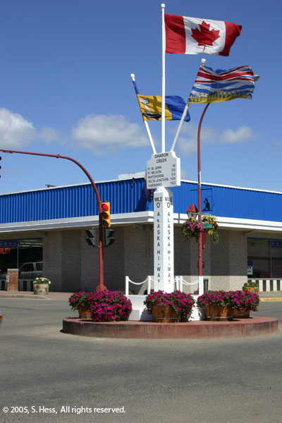
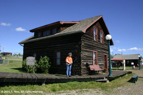
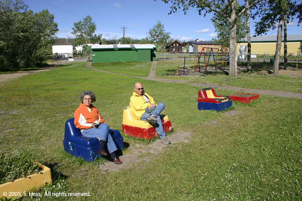
| We awoke this morning to a beautiful but windy day. The sky was a deep blue with a few white clouds. We spent the day walking around Dawson Creek. In the morning we went to the Visitors Center, Mile Zero Monument (identifying the start of the Alaska Highway... there are actually two of them in town), and the "downtown" area of town. In the afternoon we went to the Pioneer Village, a collections of buildings that go back to the early days of Dawson Creek and some of the surrounding communities. We also spent a bit of time on the beach at Rotary Lake ( a man-made "lake" that is more like a round pool). |
|
|
 |
|
|
|
|
|
|
| The area of Dawson Creek was a trading center in the late 19th century. By 1942 the City of Dawson Creek had a population of 600. The United States Government feared that the Japanese would cut the sea routes to Alaska and decided to build a secure overland route to Alaska. The starting point of that route, the Alcan (now Alaska) Highway, was Dawson Creek. This forever changed the city of Dawson Creek. |
|
 |
|
|
 |
|
|
|
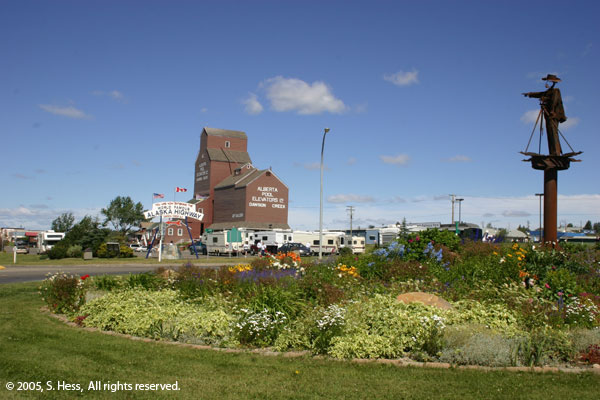
A statue of George Dawson pointing down the Alaska Highway
at Mile Zero, monument is seen in the background
|
Original Mile Zero monument
|
|
|
|
 |
|
|
|
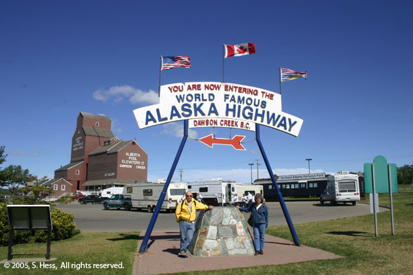
Susie and Sam at Mile Post Zero of the Alaska Highway
|
|
|
 |
|
|
|
|
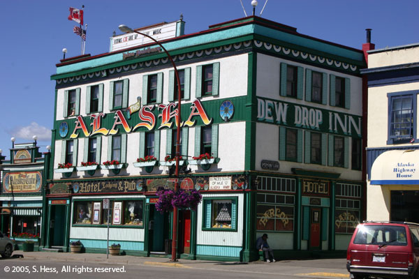
The Alaska Hotel on 10th Street
|
|
|
 |
|
|
|
|
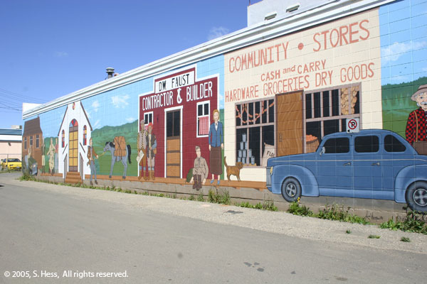
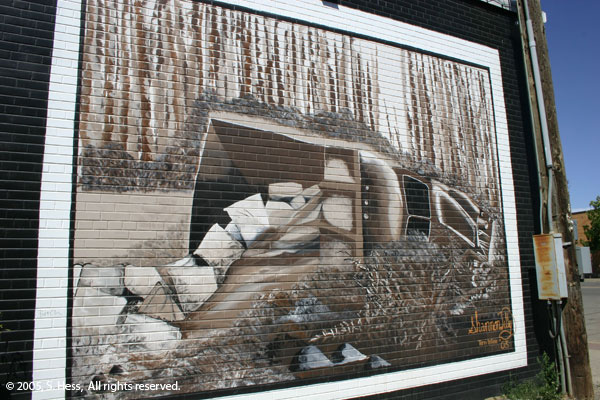
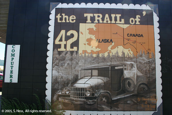
| There are a number of murals in Dawson Creek representing the period when the Alaska Highway was built. Left and below are a few examples. |
|
 |
 |
|
|
 |
|
 |
|
|
Susie at the original Dawson City School
in Pioneer Village
|
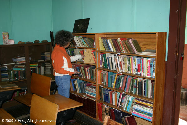
Susie, the librarian, can't resist looking at the books in the school
|
|
|
 |
|
|
|
|
|
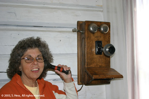
Hey, this doesn't work like my cell phone
|
|
 |
|
 |
|
|
On the Beach at Rotary Lake
|
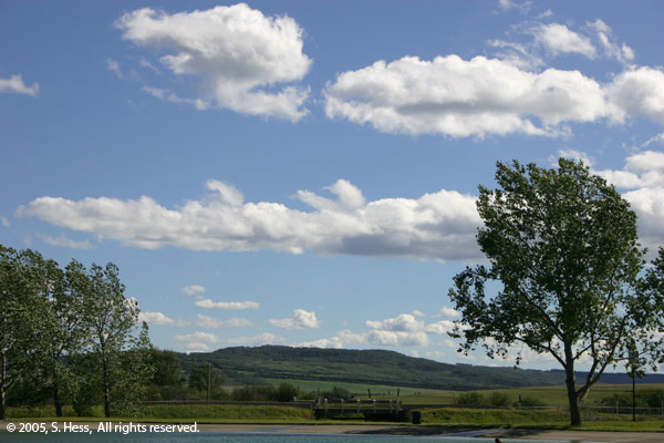
The view south from Rotary Lake
|
|
|
|
|
|
|
|
|
|
|
|
|
|
|
|
|
|
|
|
|
|


