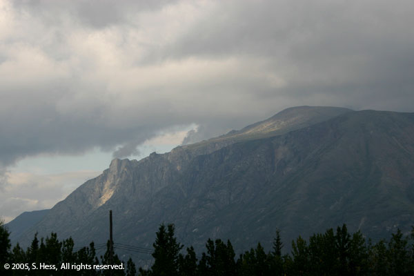
| The rains have returned. It almost seems as though we used up our quota of good weather at the beginning of our adventure. Today's trip took us along the edge of the Tetlin National Wildlife Refuge to the Canadian border. In Canada the road skirts the edge of the Kluane Wildlife Sanctuary until we get to Kluane Wilderness Village. Behind these two wildlife refuges, lie the Wrangell- St. Elias National Park and Preserve (US Side) and Kluane National Park and Reserve (Canada). These two parks are listed as an International Wildlife Heritage Site and are likely to be protected from development. There is supposed to be some spectacular scenery on this portion of the route, but all we saw was cloud covered mountains and some lakes. Kluane Wilderness Village lives up to its name in some respects. There is nothing here so wilderness name fits. Use of the word "Village" shows some ones imagination... there is a gas station, restaurant and hotel, with what appears to be common ownership, covering both sides of the Alaska Highway... that's it.
The Yukon portion of the Alaska Highway covered today, about 110 miles (176 Km), has to qualify as some of the worst highway conditions we have encountered. You expect to have poor conditions on the Top of the World Highway and some others we have yet to travel. However, since the Alaska Highway is the major road in the area, you expect it to be better maintained.
|
|


