Alaska 2008
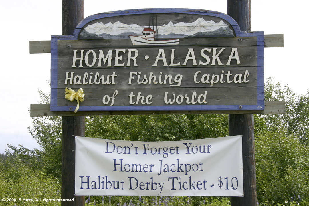
Homer, AK
17 July 2008
General Information
Local Map
Photographs and Commentary
Click on pictures to enlarge
A wild night last night with the trailer shaking. No, it's not what you think... It's weather related! Starting yesterday afternoon, a series of squalls came in from the southwest containing heavy rain and wind with gusts around 25 MPH. When we went to sleep, we were rocked periodically by the wind. The Homer Spit is a few hundred yards wide where we are camped. We are only elevated about 10 feet above the high tide line. There is absolutely nothing here to block the wind, not even a single tree. I had no fear about the trailer flipping over as a result of the buffeting we were getting from the wind, but I'm not sure Susie had the same confidence in the trailer's stability. By morning the wind and rain stopped and the clouds were slowly lifting to reveal the mountains across Kachemak Bay. But nature was fooling with us. As soon as we went out, the clouds dropped, the wind started up again and so did the rain. We had planned to go to the Alaska Islands and Ocean Visitors center to view the exhibits and use the walkway that leads to Bishop's Beach to view some of the local birds. Needless to say, we only looked at the indoor exhibits.
We went back to the trailer for lunch and as we got on the Homer Spit, we watched the waves breaking on the western side. Squalls continued to come through until about 2 PM when (fanfare) THE SUN CAME OUT. This was the first time we saw the color blue in several days. The wind was still gusting to 25 MPH and we decided to go down to lower part of the Spit and take some pictures.
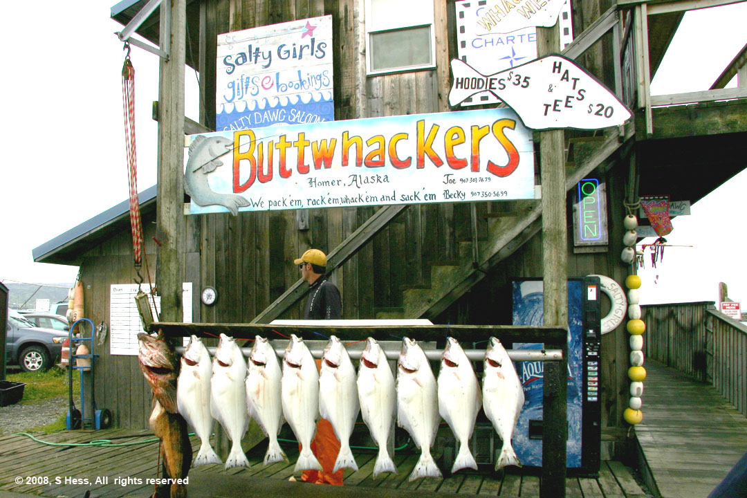
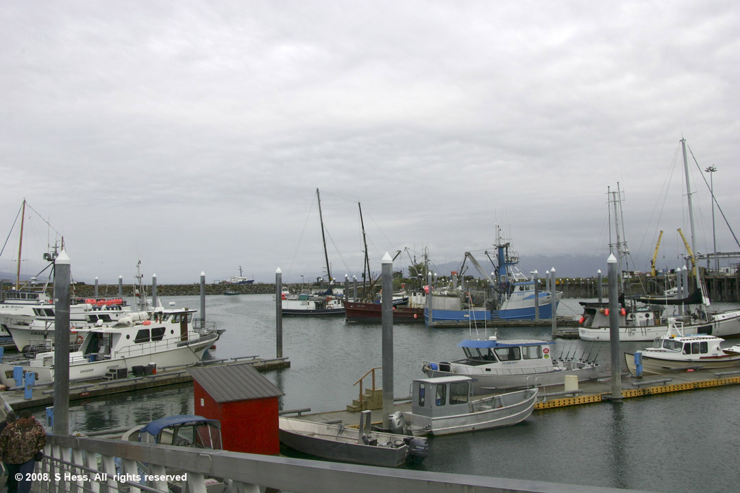
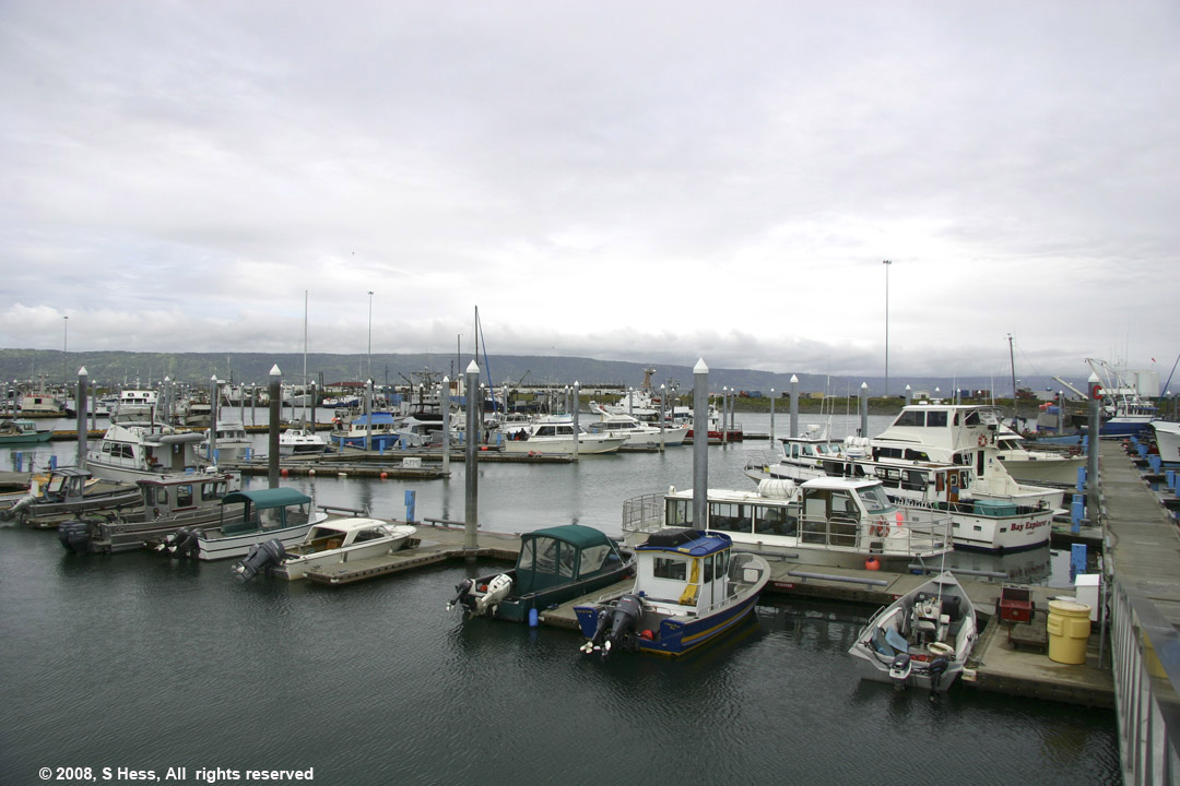
The Homer Spit is, according to most experts, the terminal moraine of a glacier that once covered Kachemak Bay. It is a couple of hundred yards wide at the point where our campsite is and I estimate its elevation at about 10 feet above the high tide line. At the lower end of the spit is the small boat harbor, where commercial fishing boats and fishing charter boats are berthed. It also has a commercial dock facility. When you click on the Google map above and select "sat" you can zoom in on an aerial view of the Spit to see more detail. Today, the spit is a mecca for Halibut Fisherman, both commercial and recreational. As I said on our arrival here, the Spit is also touristy, with a number of small shops and the famous (or infamous) Salty Dawg Saloon which we visited this afternoon. One of the most traumatic moments in recent history occurred during the Good Friday Earthquake in 1964. The Spit's elevation dropped about 6 feet and was flooded destroying or damaging most of the structures at the tip.
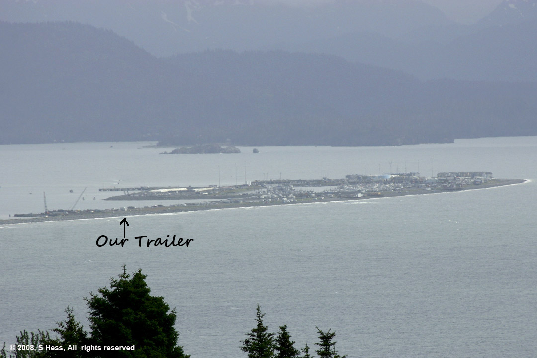
The tip of the Homer Spit, where most of the businesses are located. Enlarge the picture by clicking on it and see a white dot that is our trailer. The picture was taken from a distance of about five miles.
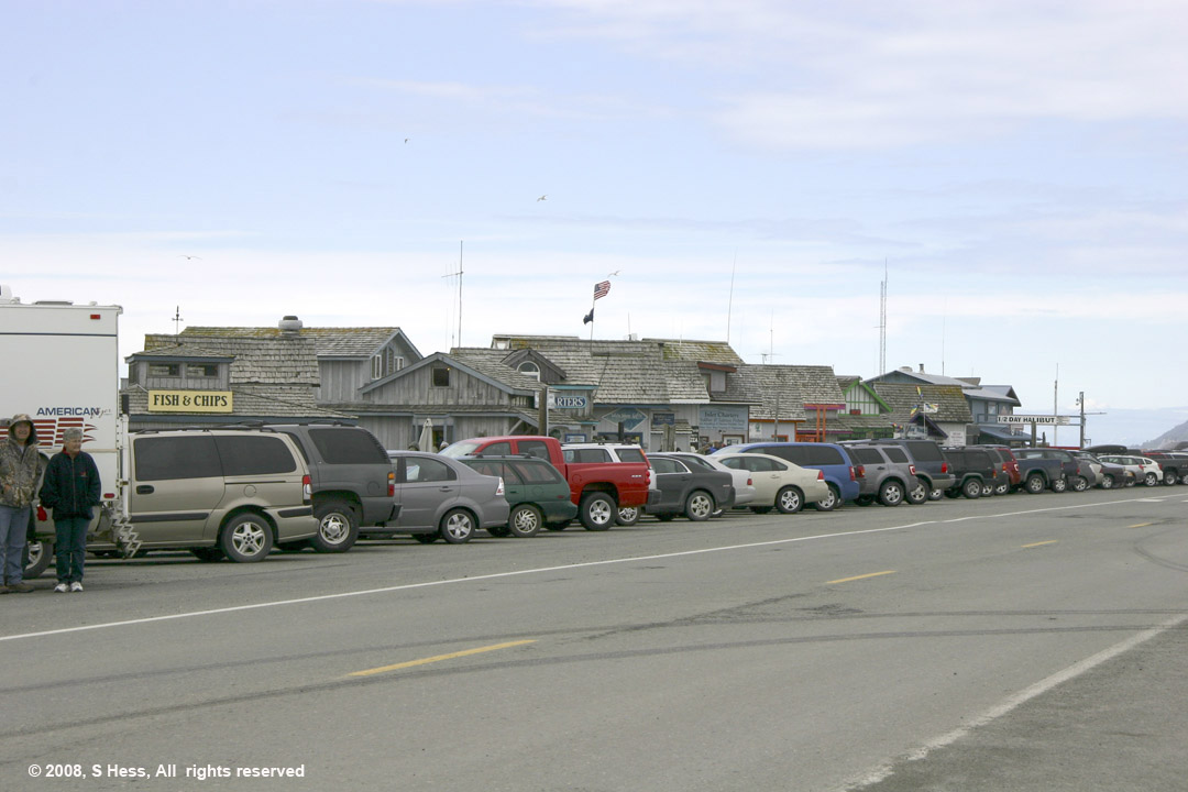
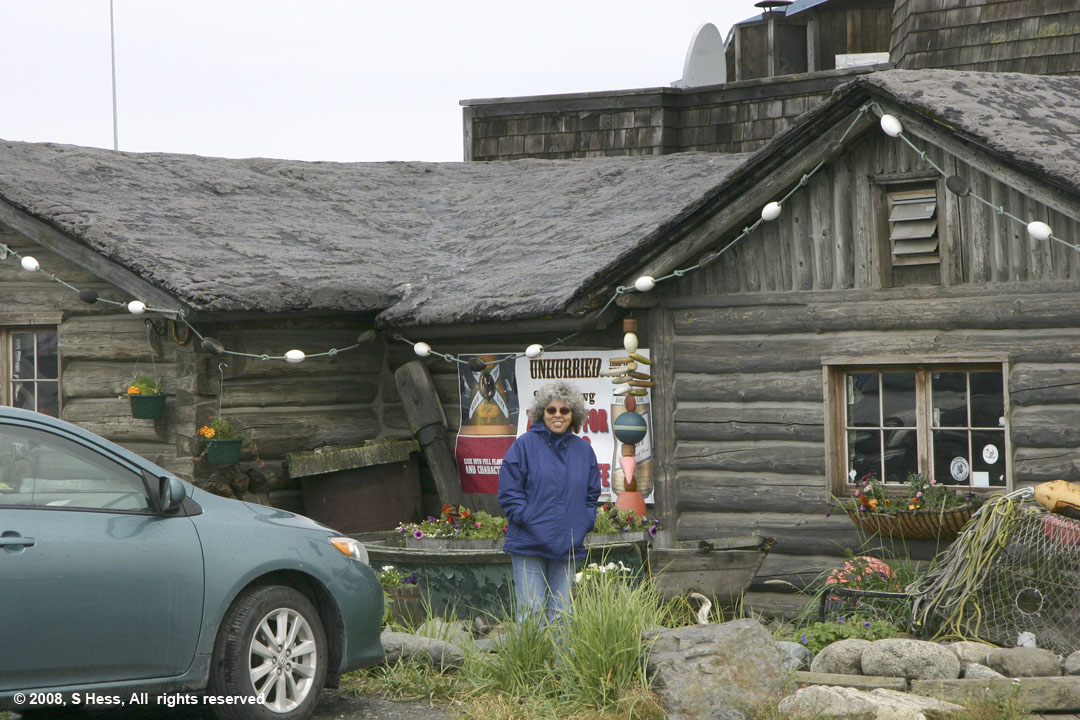
Small "shacks" along Homer Spit Road have souvenir stores, restaurants and charter services. Their business season is short and the Spit is virtually deserted after the tourists leave.
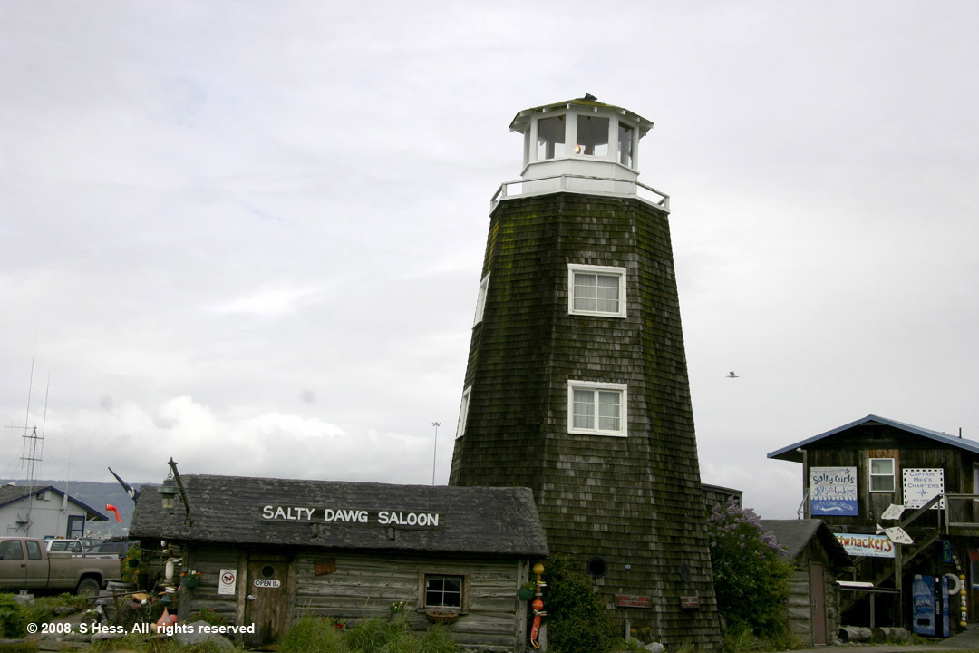
The Salty Dawg