The trip from Houston to South Padre Island was easy for the most part. The roads we took are not Interstates, but were, for the most part, four lane divided highways with speed limits of 70 miles per hour. We did have to drive through some small towns but mostly the roads bypassed them. Eventually, the entire route will become Interstate 69, but based on what we saw they have a long way to go to meet Interstate standards.
The terrain from Houston to South Padre Island is, in a word, flat. The final part of the trip is in the Rio Grande Valley although there didn't seem to be any transition going into the valley. The differences we noted as we proceeded south from Houston was in the vegetation growing along side the road. There are many farms along here growing sorghum, cotton and, we think, rice. There also a number of large ranches along the road including the King Ranch, one of the largest in the country.
The second half of the trip became a little more difficult. We encountered fairly strong headwinds and had some difficulty maintaining our speed. The winds caused our already high fuel consumption to get even worse. Ordinarily, we would have pulled into South Padre Island with a quarter of a tank left. When we arrived, the tank was almost empty. Pulling a trailer is like pushing a sail into the wind. When that wind is blowing hard in your face, it creates increasing resistance which requires more power (and fuel) to overcome. The weather had also finally caught up with us. The last rainfall we had thus far was a very brief shower in central Alabama on our third day out. We hit several showers, some heavy, today. The forecast is for high probability of thunder showers for the duration of our stay here.
When we got to South Padre Island we took a quick tour of the main streets on the Island (it is only about four blocks wide). The shops, hotels, fast food establishments are carbon copies of what you would find in almost any beach town in the US. If you ignored the signs indicating that you are in South Padre Island, you would think you are in Myrtle Beach or other similar towns.
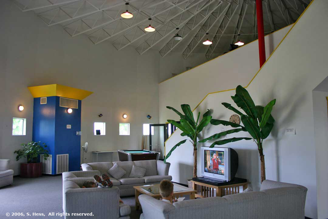
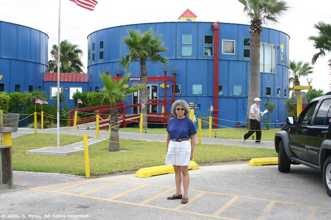
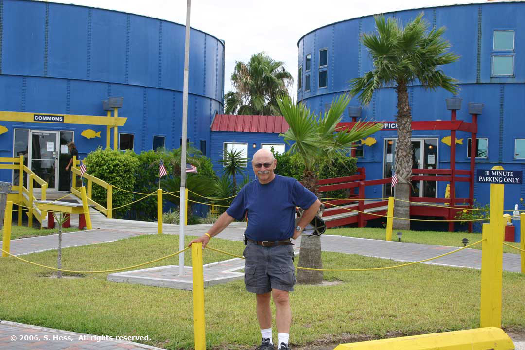
The campground is on the Laguna Madre (bay) side of the Island and fairly close to the southern tip of the Island. If you keep going south, the next piece of land you would hit would be in Mexico. The campground has something unique we have never encountered anywhere. There are two blue water tanks that no longer hold water. Instead, one is used as a recreation hall and the other has the office on the ground floor and three condos on the second floor (see pictures that follow).
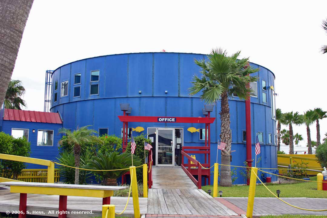
Office in former water tank with condos above
Interior of the second tank, known as the commons. This side is a lounge area and the other has a snack bar. Upstairs is a health club.
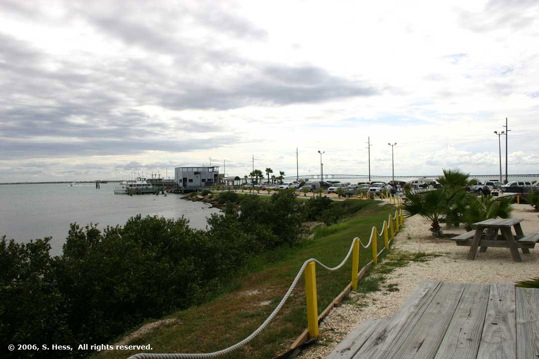
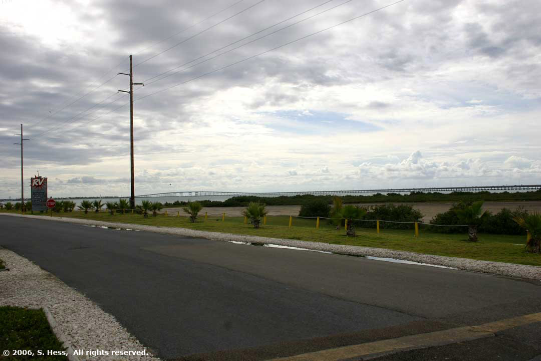
View west from back of office. Fishing pier and restaurant in background
View of Laguna Madre from out site with causeway bridge in background