Moab, UT
15 July 2006
Canyonlands National Park - Island in the Sky District
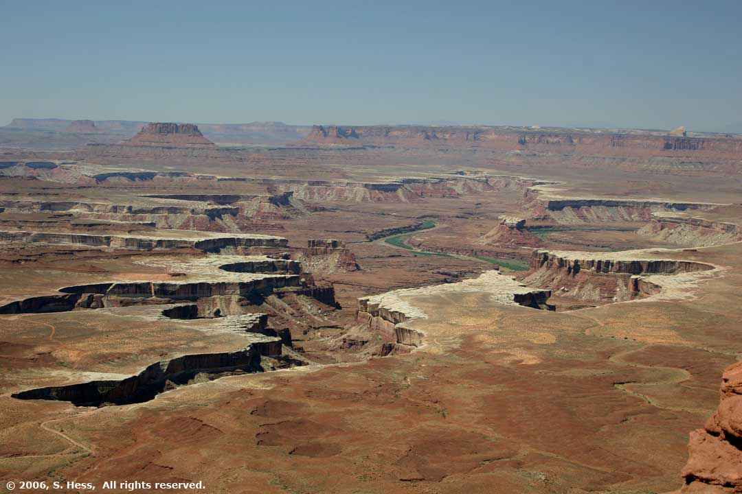
What a day!!! We spent the day in Canyonlands National Park and it was spectacular (I may be over using this word, but...). The Park is broken down into three regions and we chose the closest, Island in the Sky, 35 miles from the campground. Island in the Sky is essentially a broad mesa wedged between the Colorado and Green Rivers. The mesa top is at an elevation of approximately 6,000 feet. About 1,200 feet below the mesa top is the White Rim, a continuous bench around the mesa. Another 1,000 feet below the White Rim are the rivers. When we arrived at the Visitors Center, Ranger Karen told us that this is better than the Grand Canyon because it had two rivers. I'm not sure anything can beat the Grand Canyon for vistas, but Canyonlands comes close.
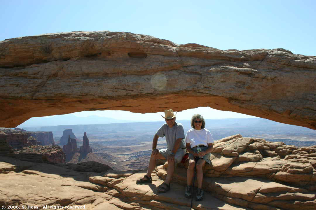
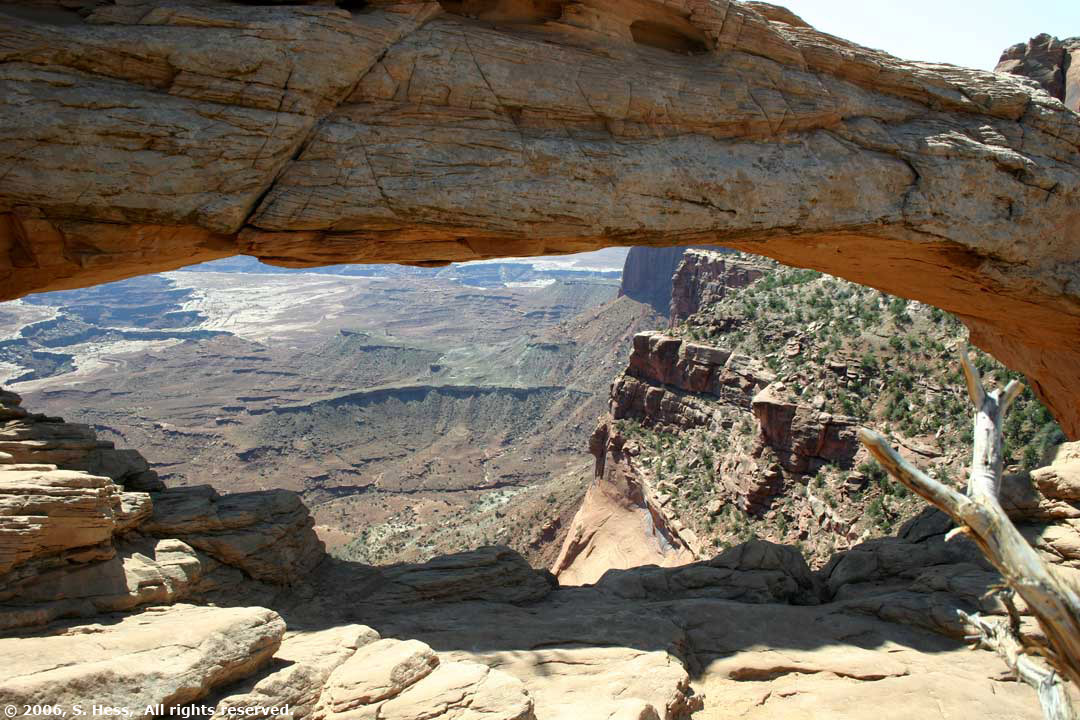
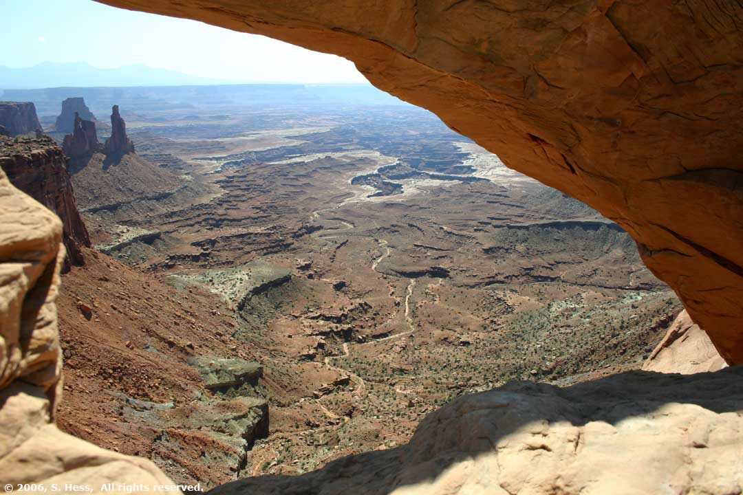
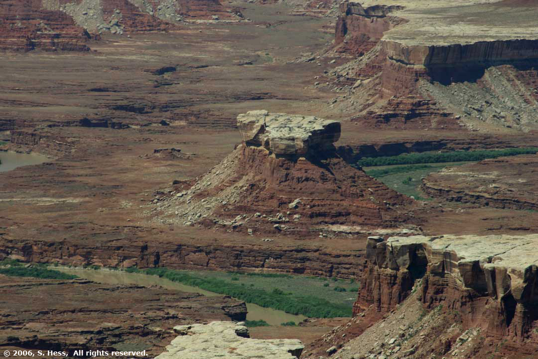
The pictures below are from different overlooks in the park and are shown in sequence. We started out at the Shafer Canyon Overlook which is in an area called The Neck. The Neck is the narrowest part of the Mesa with Shafer Canyon and Taylor Canyon on opposite sides. I would estimate the width of the Neck at about 400 feet. Our next stop was at Mesa Arch, which had a great view through the arch. Susie, who usually avoids heights, walked to the arch and took a look down. Little did she know that a few hours later we would be part of that view (we didn't fall in). We then stopped at the Green River Overlook, where you get the first glimpse of the Green River. We continued on to Upheaval Dome, a crater with a salt dome in it. Scientists disagree on what created the dome. One group believes that it was a geological uplift and the other says that a meteor impact created it. We stopped briefly at the Buck Canyon Overlook and then proceeded to the final viewpoint, the Grand View Point Overlook. Grand View provides a glimpse of both rivers as they flow towards their confluence several miles south.
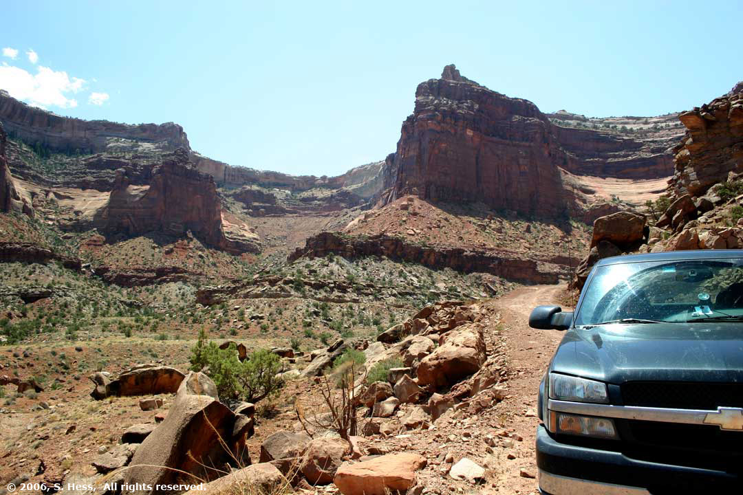
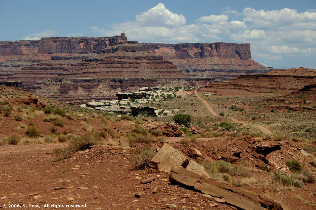
I had asked Ranger Karen about four wheel drive trails in the park, specifically about the White Rim by which you can drive completely around the bench below the mesa. She advised that it is over 100 miles and suggested an alternative, the Shafer Trail Road, which would ultimately lead us to Moab. We didn't know what we were in for. The trip took several hours to complete and the first section was a white knuckle ride. It took a series of switchbacks on a road that was quite rocky and had major drop offs on the canyon side of the road, to bring us 1,200 feet down to the White Rim. The next section was not as precipitous but equally bumpy and ultimately dropped us another 1,000 feet to the Colorado River. We were never happier to see a paved road. As we drove into the canyon, the temperature started to climb until it reached 116 degrees F. When we got into Moab, the temperature dropped to a pleasant 104.
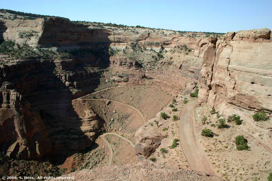
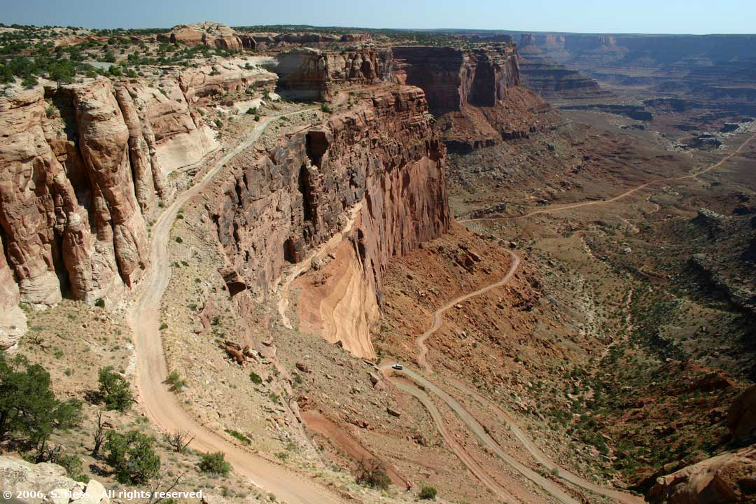
View from the Shafer Canyon of the road we would take later in the day
Mesa Arch Views

Green River Overlook
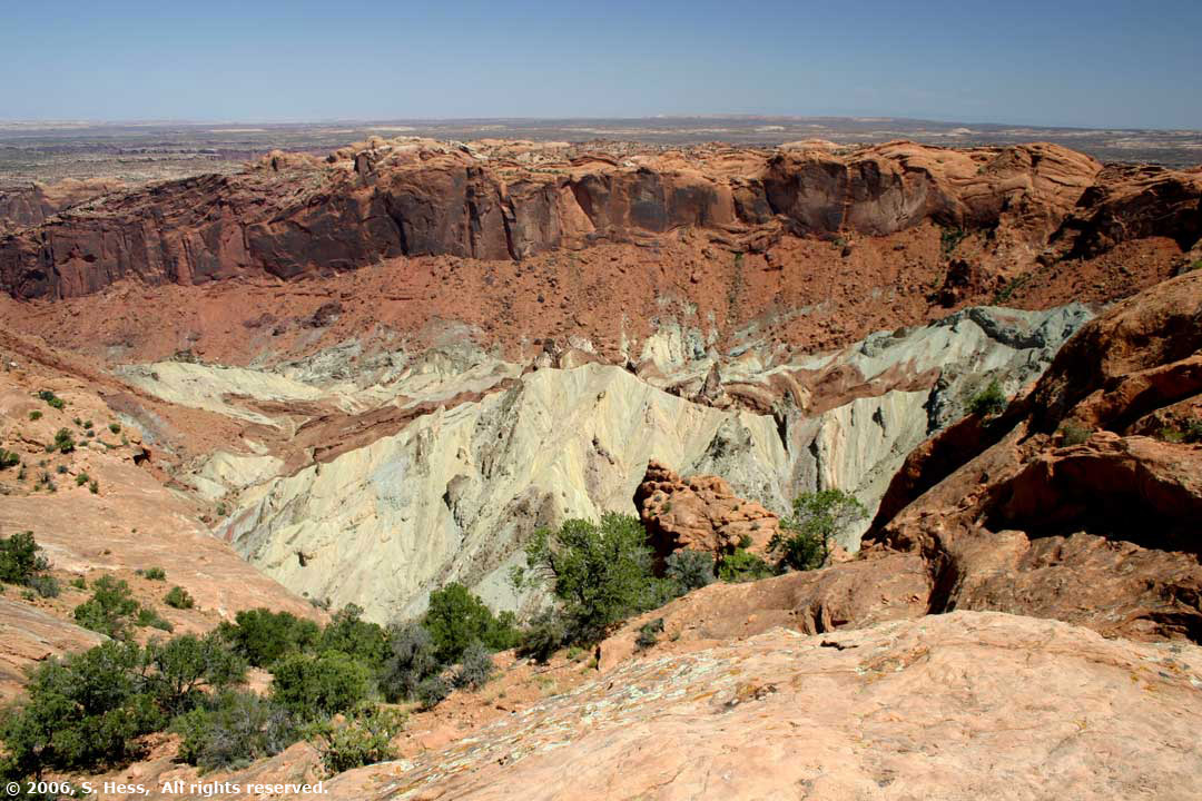
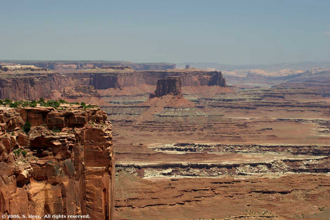
Upheaval Dome
Buck Canyon
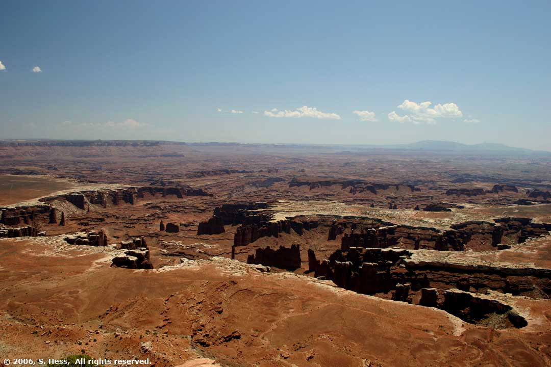
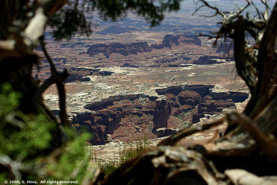
Grand View Point
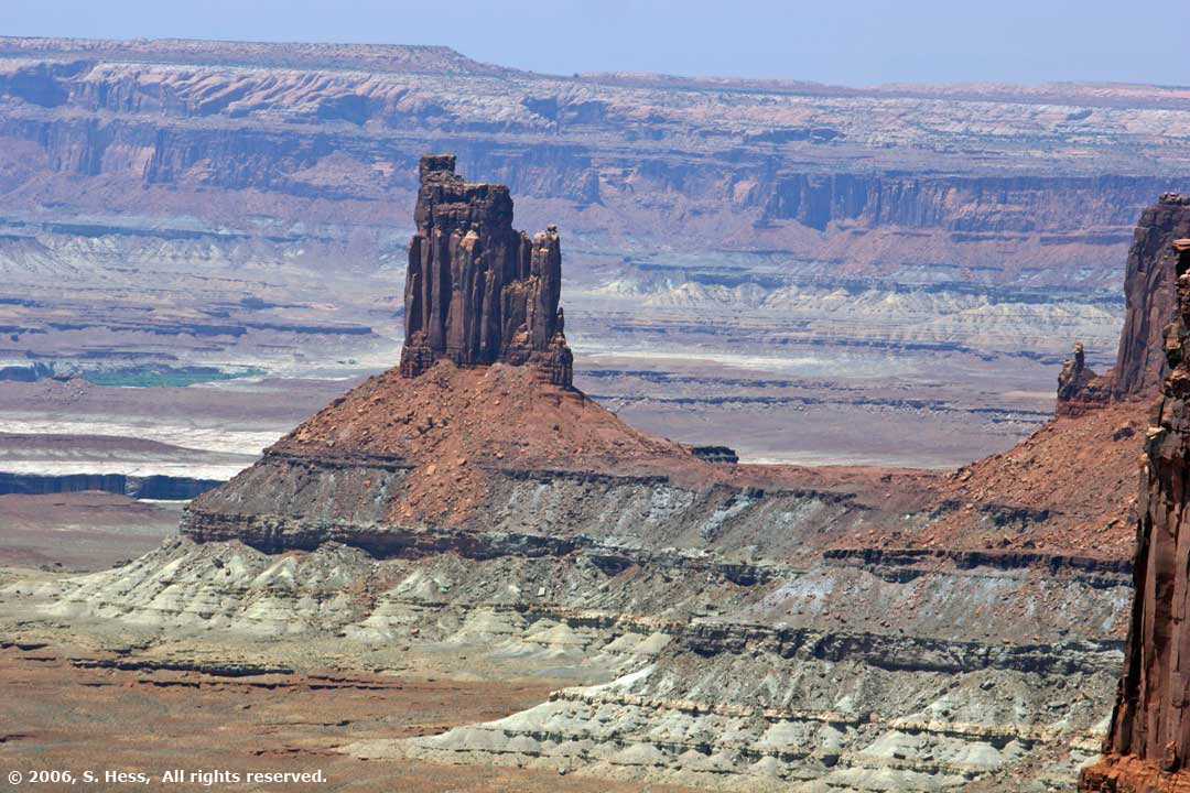
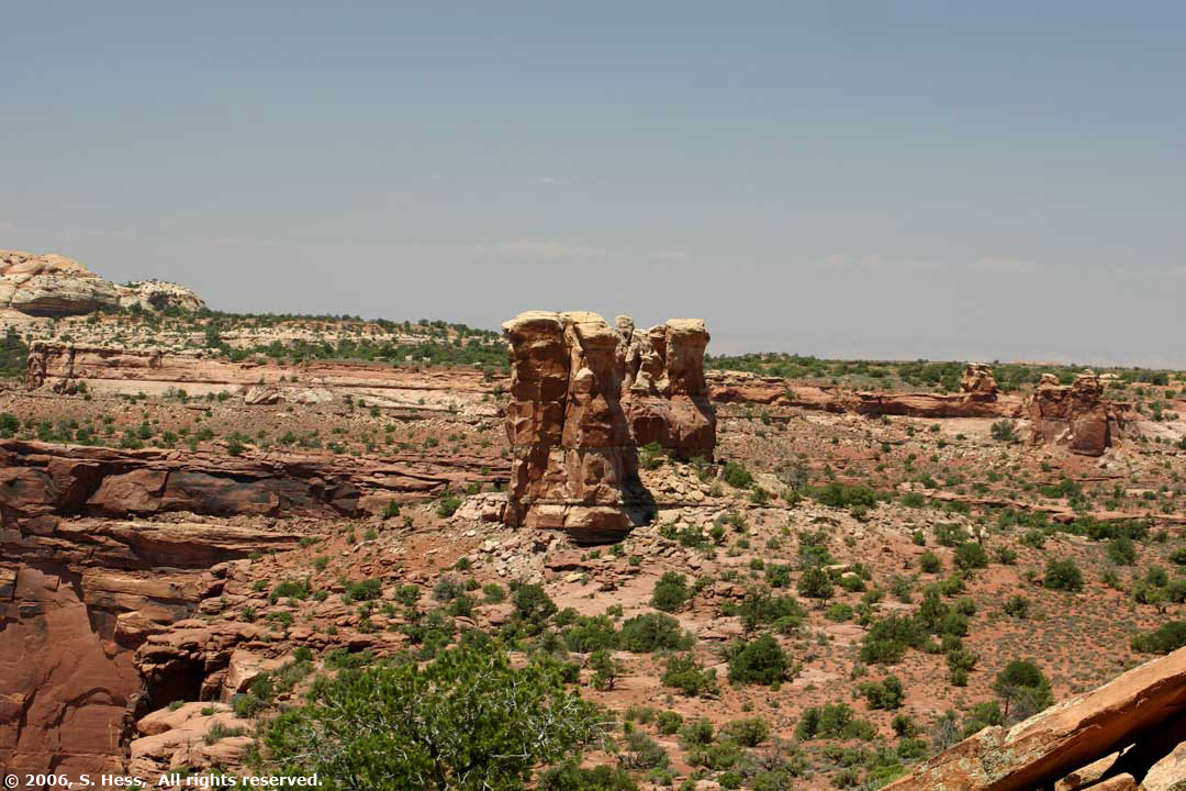
Shafer Trail Road
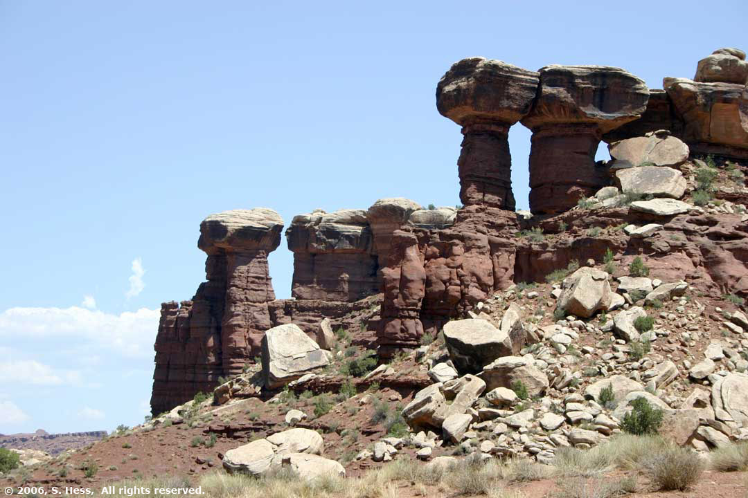
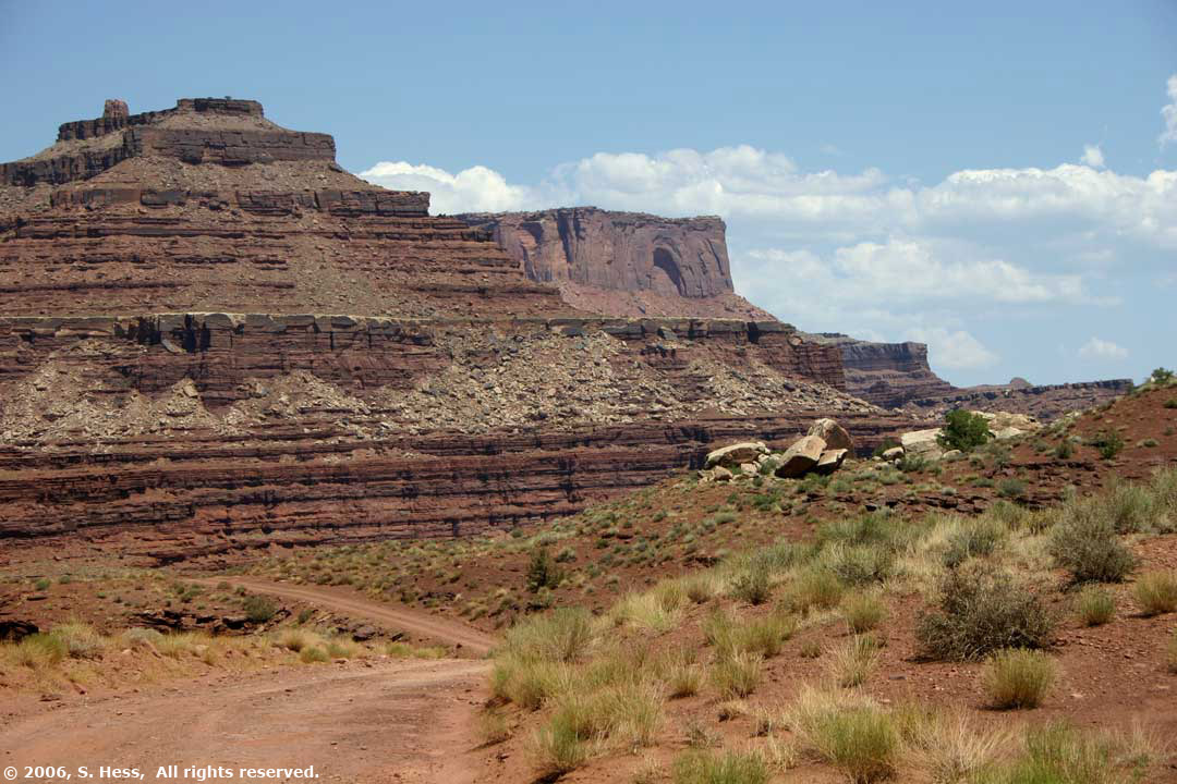
Susie called this formation, Mr. and Mrs. ET
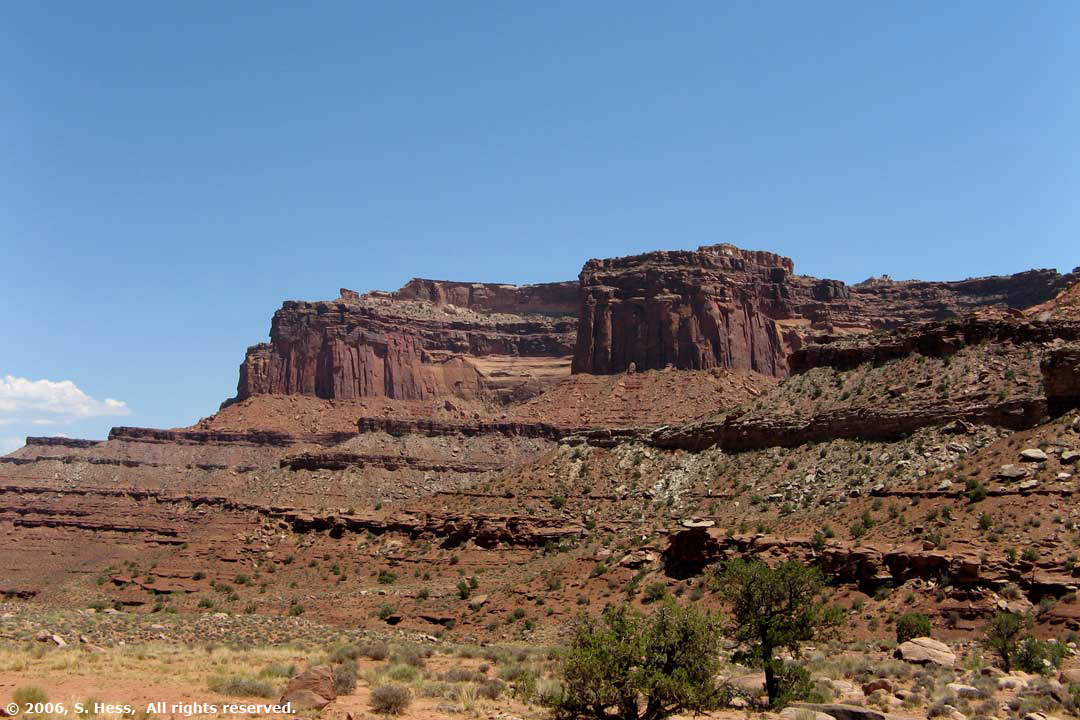
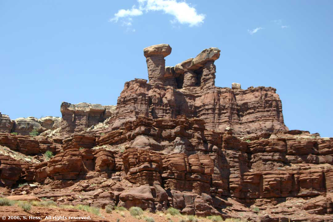
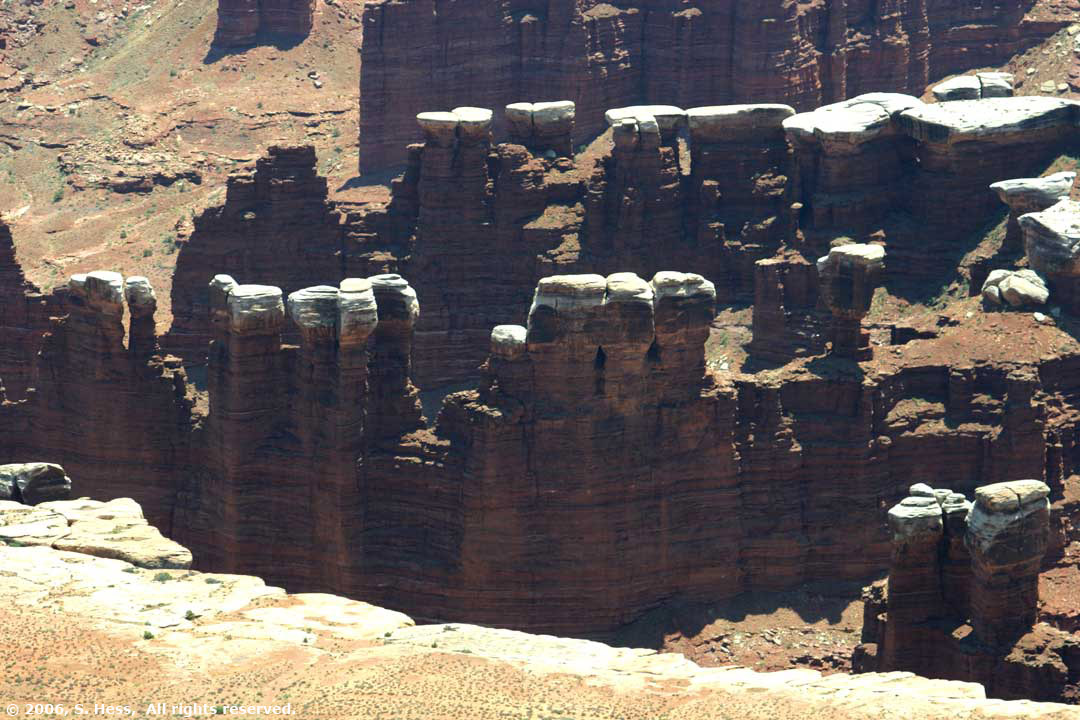
Susie named this formation, Camel Heads
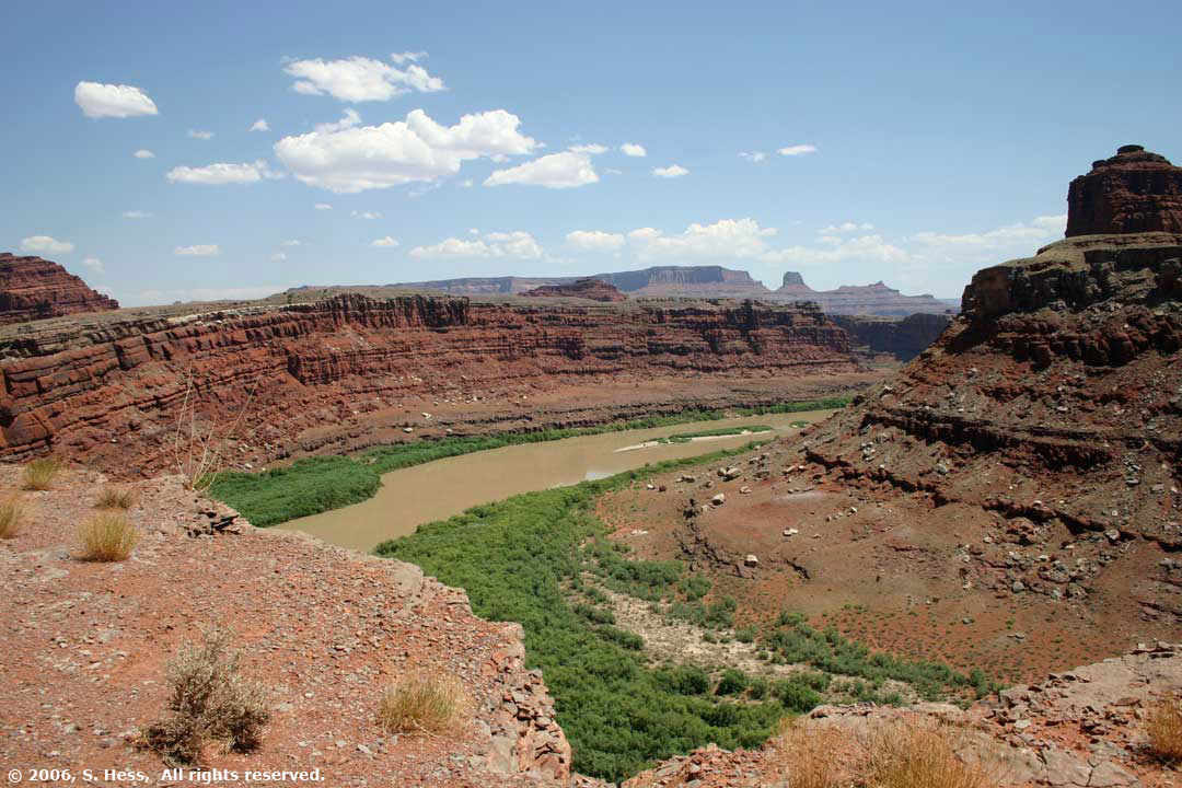
First look at the Colorado River... still a way to go
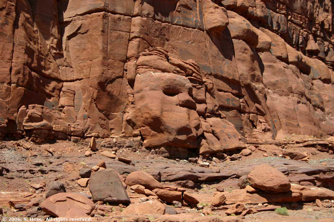
I see Phantom of the Opera
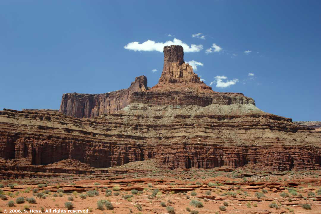
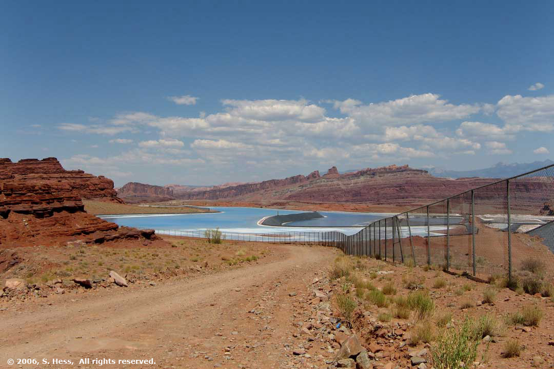
Moab Salt Company evaporation ponds
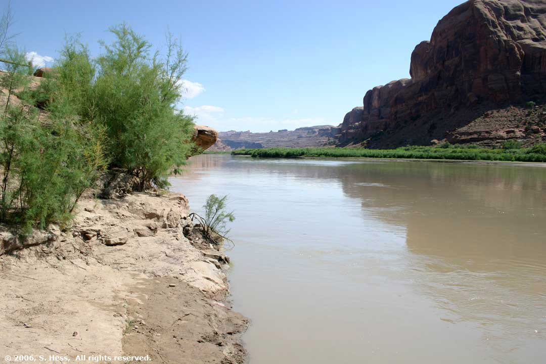
Finally, The Colorado River