Today we decided to explore the Pacific Coast north of San Francisco Bay. The trip involved a loop that took us north to Petaluma. From Petaluma we headed northwest to Bodega Bay. We followed the coast south from Bodega Bay, along Tomales Bay to Point Reyes National Seashore. Continuing south from Point Reyes, we visited Muir Woods National Monument. The first part of the trip, Novato to Petaluma to Bodega Bay, took us through rolling hills dotted with cattle ranches and dairy farms. Once we hit the coast and traveled through towns like Bodega Bay, Marshall, Point Reyes Station and Stinson Beach, tourism, boating, cultivating oysters and fishing were the major industries. The roads are not the type that Susie likes, with twists and turns as they go up and down the coastal hills.
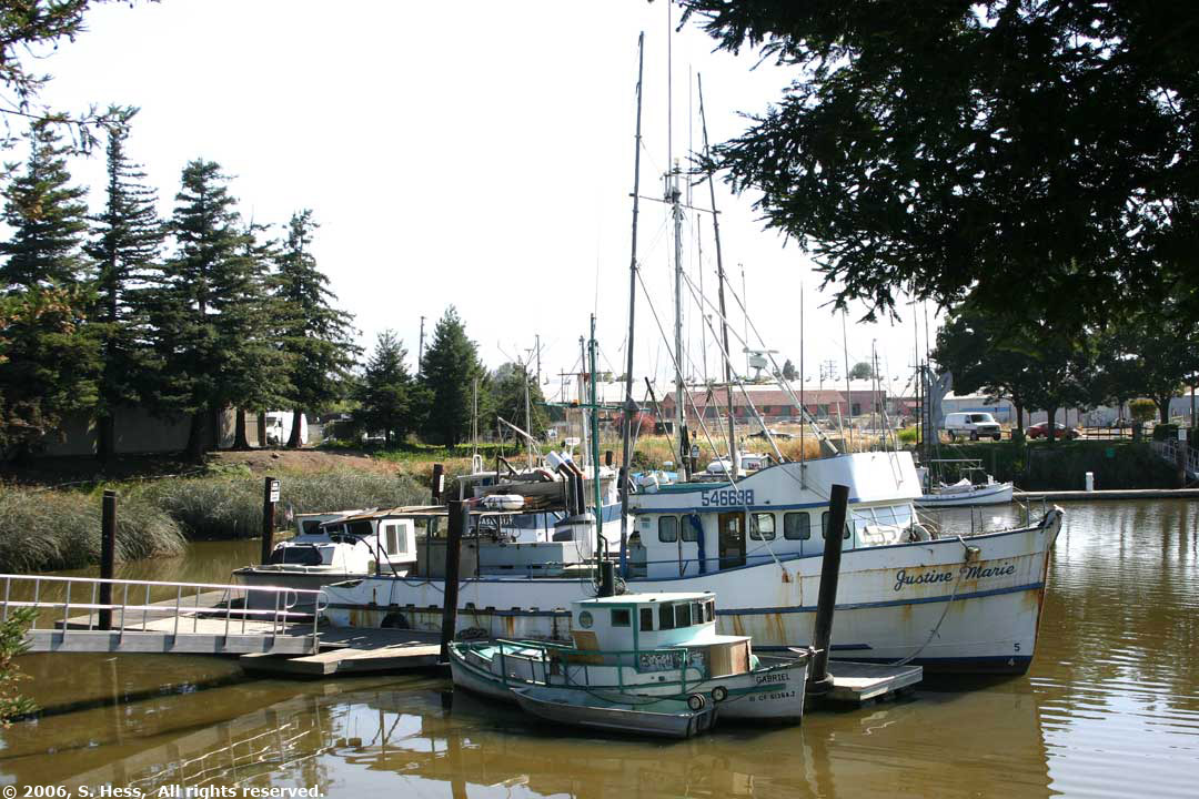
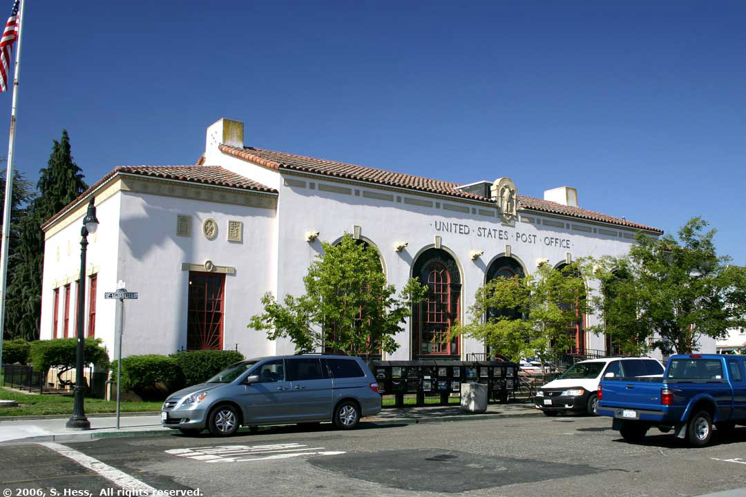
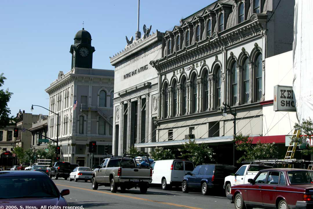
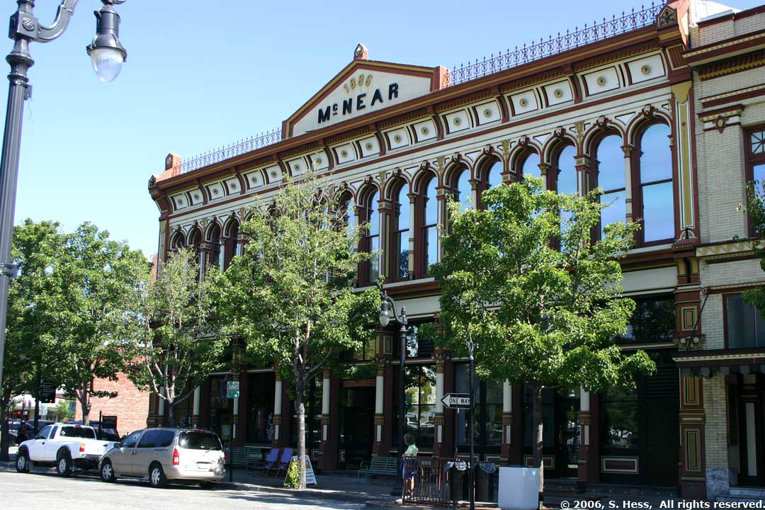
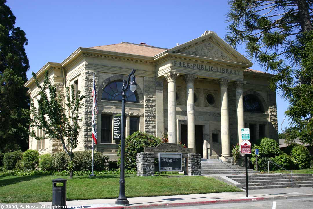
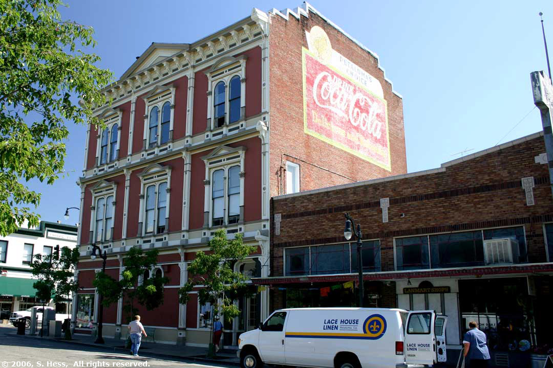
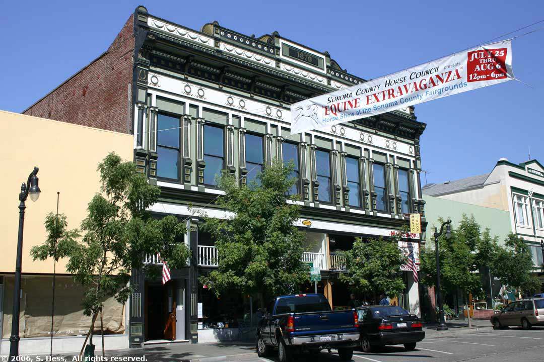
I had driven through Petaluma about 15 years ago and liked what I saw on the main street. The town has a lot of Victorian buildings in the downtown area as well as in some of the residential areas. Many of these buildings have been maintained and contain a variety of businesses. I did make one observation to Susie that the major business in this town were bars/clubs or antique dealers. We walked around the town, which was quiet when we got there as many of the stores were still closed. 
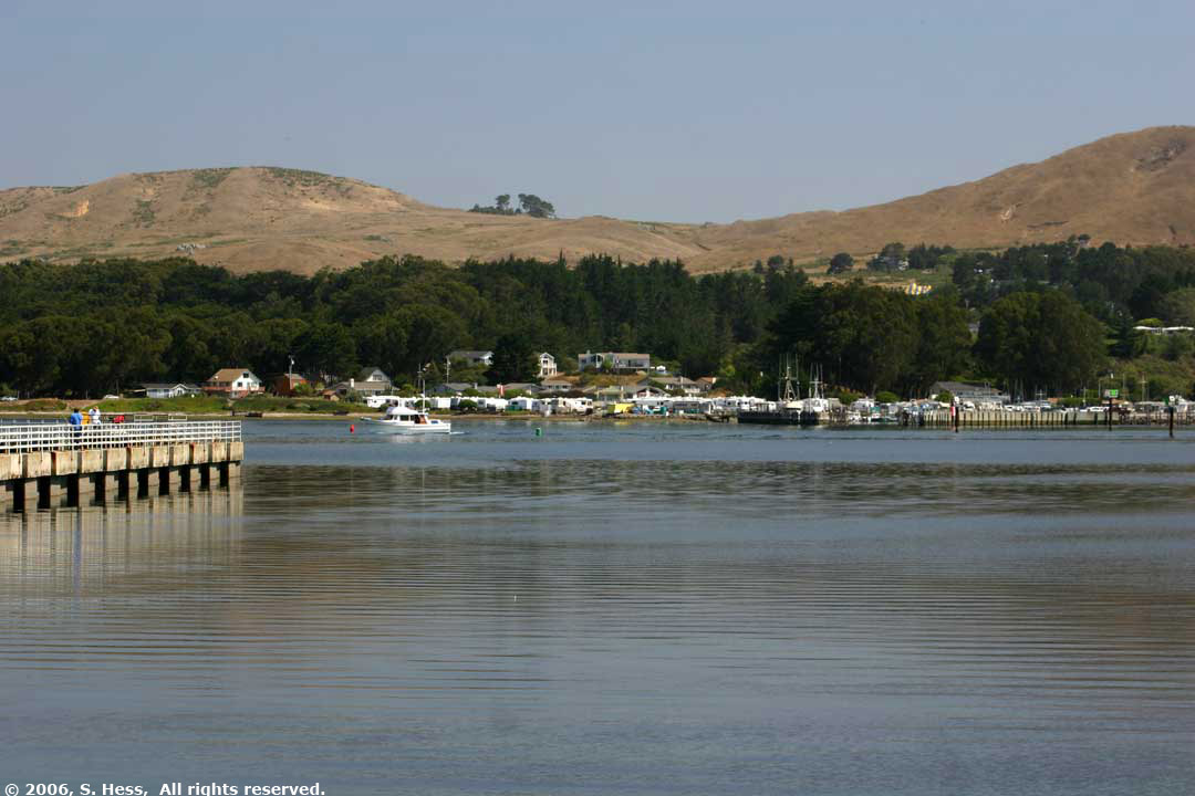
I don't know what prompted me to suggest going to Bodega Bay. I heard the name and thought that it might be an interesting place to visit. It really wasn't much. The town had some hotels, bed and breakfasts and marinas. It was a nice setting with rolling hills behind the town, but nothing that impressed us. 
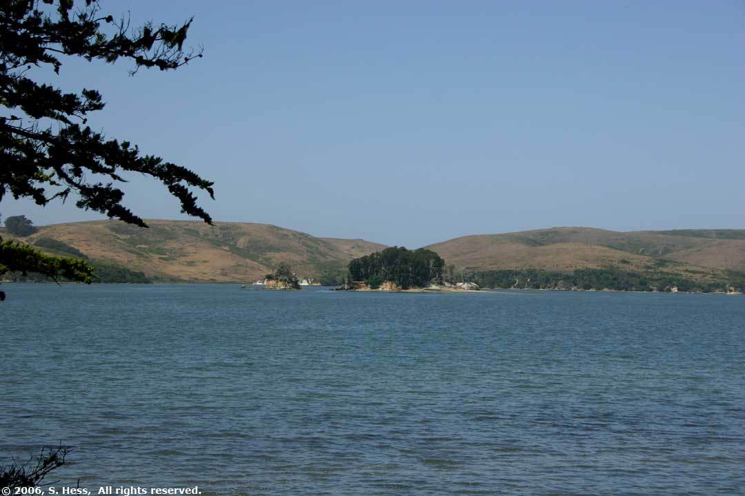
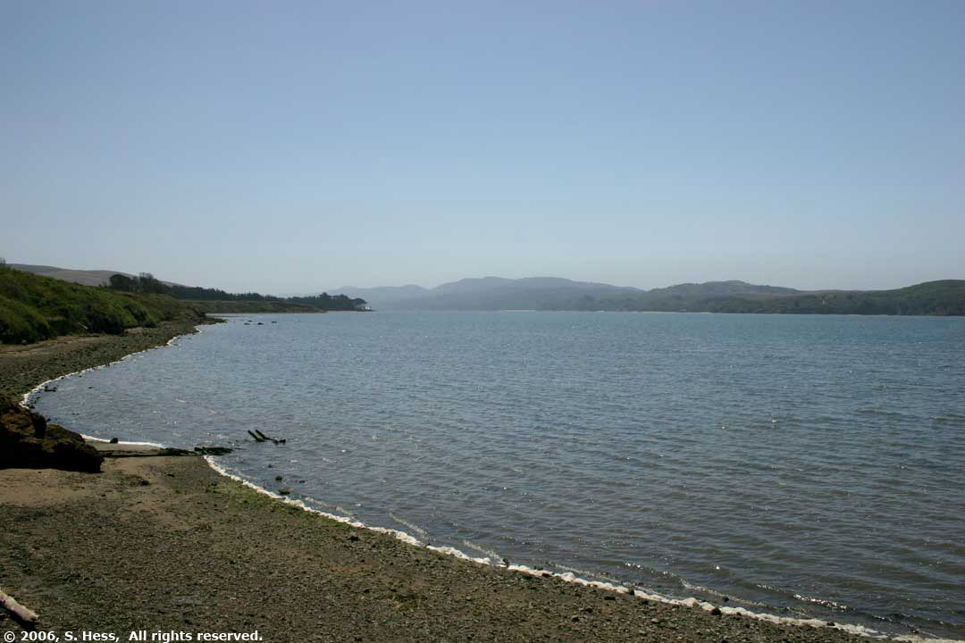
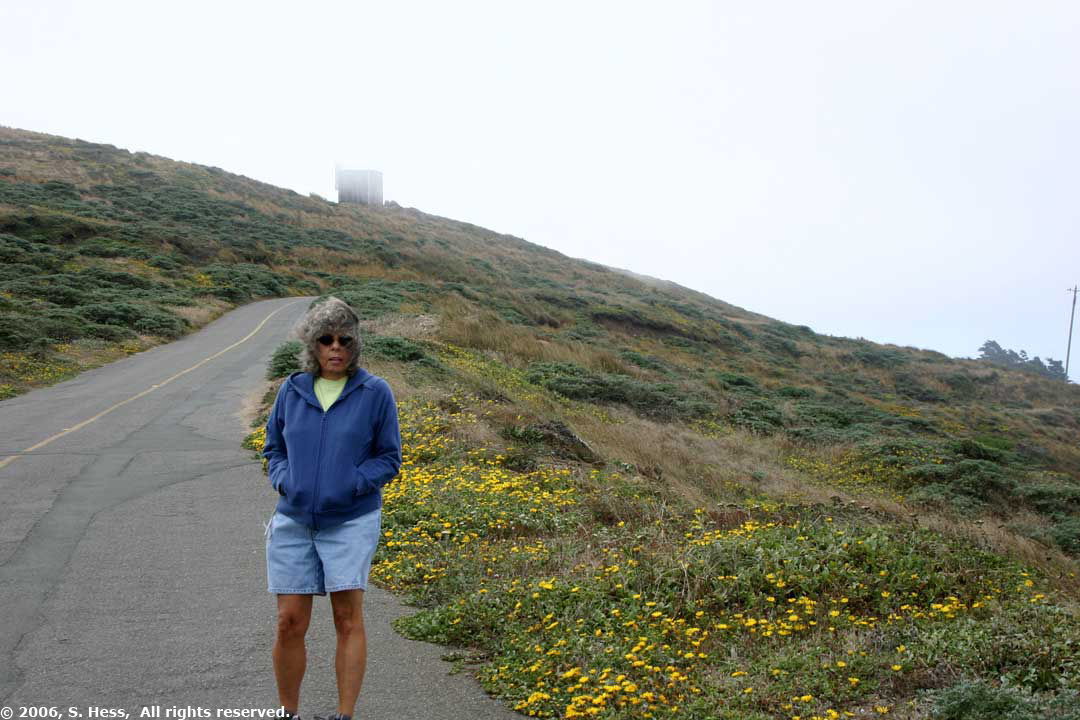
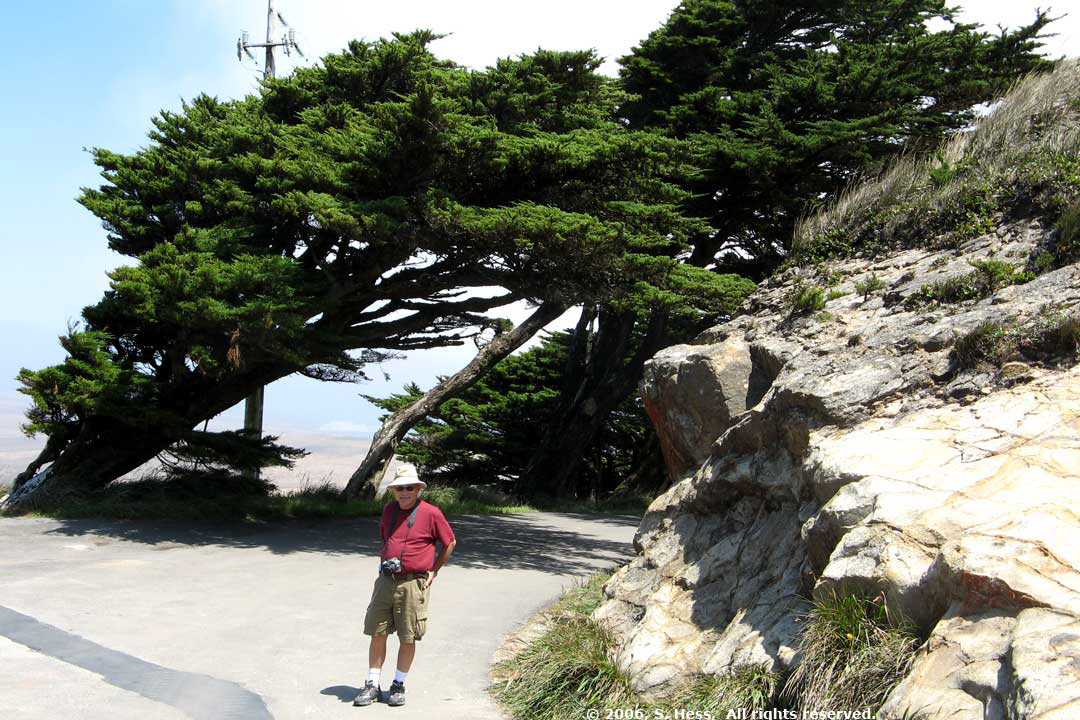
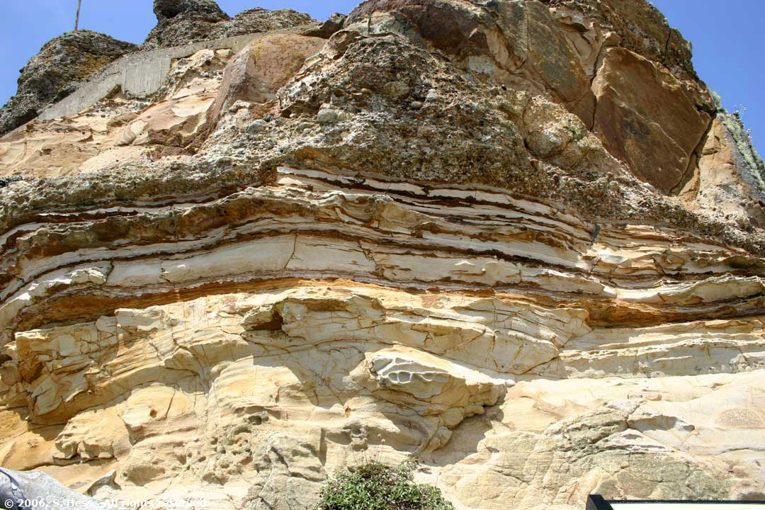
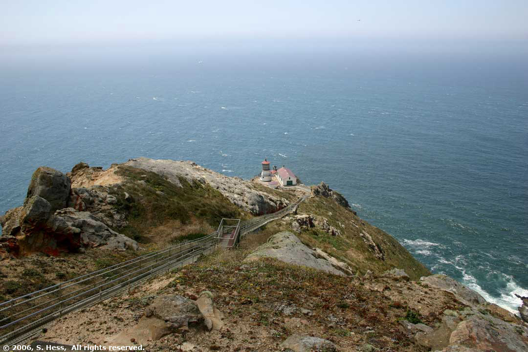
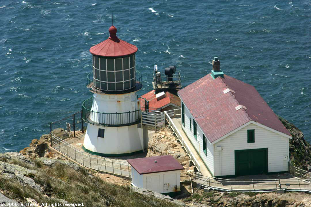
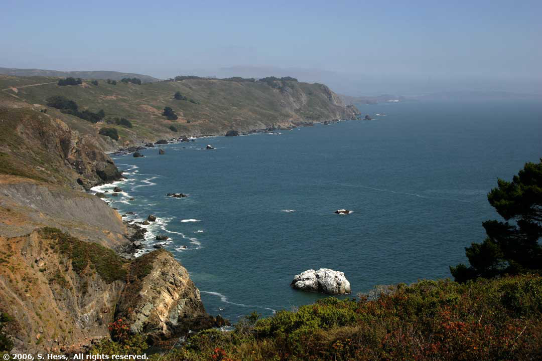
The route to Point Reyes National Seashore took us on California Highway 1 along Tomales Bay. Tomales Bay is the extension of the San Andreas fault. The land to the west of the bay is moving north past the mainland. There are a number of beaches on the seashore, but they were not our objective. We wanted to see the Point Reyes Lighthouse. This area has the strongest winds on the Pacific Coast and we felt them. I estimate the wind was blowing from the west at about 30-40 miles an hour. Coupled with a temperature in the upper 50s. It was quite cool (Susie says Cold). 
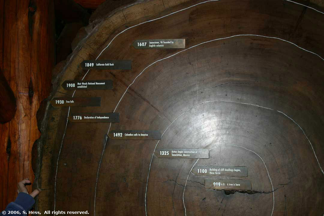
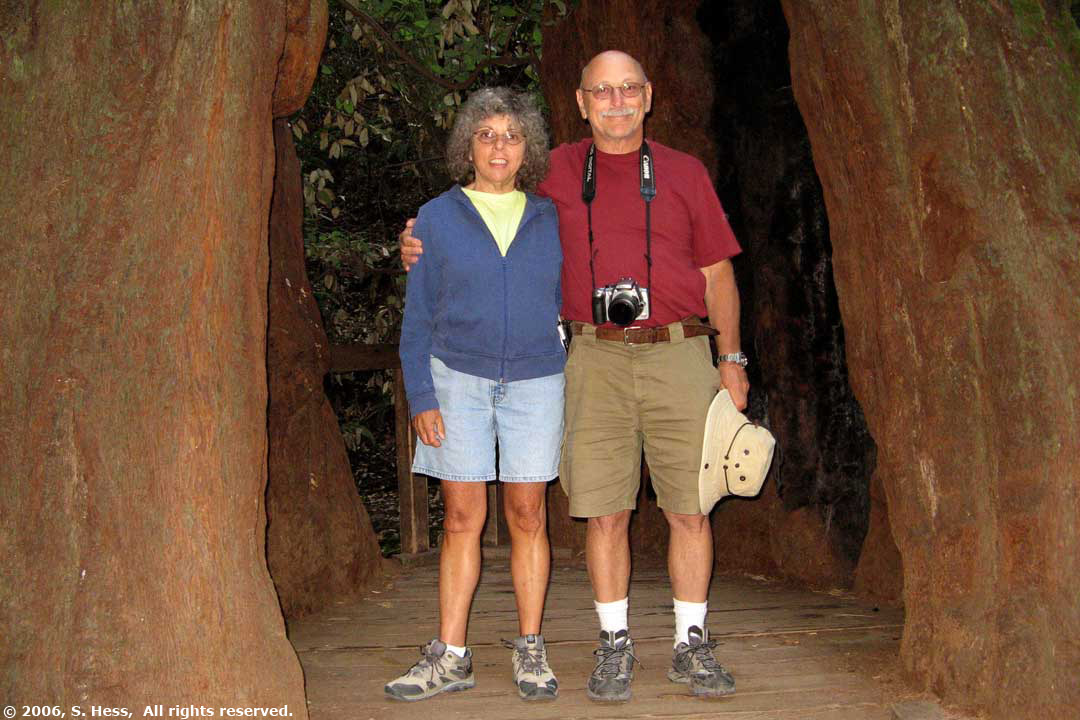
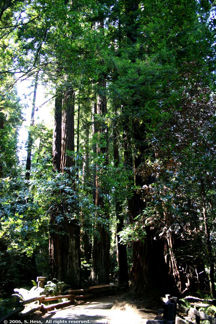
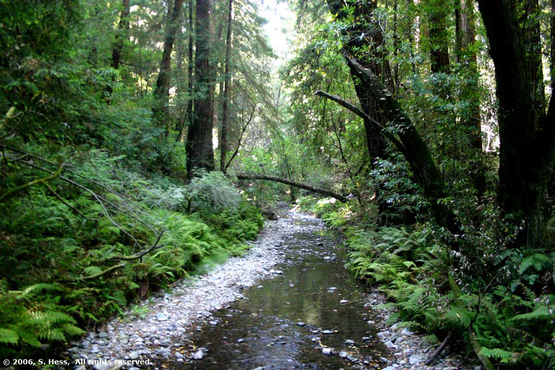
Muir Woods has one of the few remaining stands of old growth Coastal Redwoods. The Coastal California Redwoods are the tallest living things in the world. These Redwoods can grow to 370 feet with a diameter up to 22 feet and live up to 2,000 years. The Giant Sequoias we saw at Yosemite can grown to about 311 feet but can be twice as wide as their coastal cousins and can live to 3,200 years. The tallest trees in Muir Woods are about 250 feet tall. The other difference between Redwoods here when compared to Yosemite is the density of the trees. In Yosemite they are found in small groups, but at Muir Woods they dominate the forest. It is hard to describe what it feels like to walk among these giants and it is equally hard to capture them in pictures, My camera lense has difficulty capturing their majesty. |
|||||||||||
Petaluma Scenes
|
|||||||||||
![]() |
|||||||||||
![]() |
![]() |
||||||||||
![]() |
![]() |
||||||||||
![]() |
![]() |
||||||||||
![]() |
|||||||||||
Bodega Bay
|
|||||||||||
![]() |
![]() |
||||||||||
Hog Island, Tomales Bay
|
Tomales Bay looking south from California Highway 1
|
||||||||||
Point Reyes
|
|||||||||||
![]() |
![]() |
||||||||||
The effect of Point Reyes winds is seen in Susie's hair and in the windswept trees
|
|||||||||||
![]() |
![]() |
||||||||||
The rock strata at Point Reyes consists of layers of sandy matrix embedded with pebbles of various sizes. Because some of the layers are not bonded as well as others, wind and rain erode them at different rates. This rock does not look like it could support life, yet we found this example of survival in the harsh environment. | |||||||||||
![]() |
![]() |
||||||||||
Point Reyes Light sits on a cliff overlooking the Pacific. To access the lighthouse, one has to walk up and down 300 steps, equivalent to a 30 story building. Unfortunately, the lighthouse is closed on Tuesdays so we couldn't walk down... yeah right! | |||||||||||
![]() |
|||||||||||
Pacific Coast South of Point Reyes National Seashore as seen from California Highway 1
|
|||||||||||
Muir Woods National Monument
|
|||||||||||
![]() |
![]() |
||||||||||
Cross section of a 1,000 year old Redwood. The Markers identify historical events that occurred between the birth of the tree in 900 and when it fell in 1930 | |||||||||||
![]() |
![]() |
||||||||||
Redwood Creek flows among the giants
|
|||||||||||
It is difficult to capture these trees in photographs. I was practically on the ground and could not show the entire height. Even if I did, there is little else around that could give a frame of reference to their size other than other redwoods. | |||||||||||