Bayous, Beaches, Casinos… Oh My!

We decided to continue avoiding Interstate Highways for at least another day. The plan also included a ferry ride from Dauphine Island, AL, across the entrance to Mobile Bay to Fort Morgan, AL.

We left New Orleans early because we figured that we might miss a ferry and have to wait up to 45 minutes for the next one. When we left, the sky was mostly sunny and we thought we would have a great day. We got onto US-90 in the Lower Ninth Ward of New Orleans and headed east. From the highway we could see a lot of Hurricane Katrina damage and some new housing. Ozzie, our tour guide yesterday, a Katrina survivor, theorized that many of the residents didn’t want to come back to their old homes. Many of those that were willing to come back couldn’t because they either had no proof of title or didn’t have clear title to their homes so they could not take advantage of government support to rebuild or repair.

Not long after we passed the Lower Ninth Ward, we crossed over a number of bayous. After crossing the Pearl River, which forms the boundary between Louisiana and Mississippi, the terrain started changing and we drove through thickly wooded country.

Entering Bay St. Louis, MS we started seeing our first casinos which continued until the Alabama border. In Pass Christian, MS, US-90 runs along the beaches. Around this point, the weather started changing as the clouds built up and soon brought us intermittent rain. We followed the beaches until a little east of Biloxi, with its large casinos. After US-90 crossed Biloxi Bay, we left the beaches, but could still catch a glimpse of the Gulf of Mexico.

In Grand Bay, AL we left US-90 and headed on AL-188 towards Dauphine Island. The rain became more frequent and we decided that it may not be such a pleasure to ride an open ferry across Mobile Bay. Instead of heading south on AL-193, we headed north towards I-10. Of course, the fates had some fun with us and the weather improved significantly. I-10 took us through Mobile into Florida.

We stopped at the Florida Welcome Center for a break and picked up some brochures about Pensacola. One of the brochures was about the National Naval Aviation Museum at Naval Air Station (NAS), Pensacola. We decided to visit the museum. Once again fate had a different idea! When we got to within 1/2 mile from the entrance to the Air Station, traffic came to a halt. It took us about 40 minutes to get to a point where we could see the entrance to NAS Pensacola and the traffic backed up from all directions. We made another decision and rerouted ourselves to our Pensacola hotel for the night.

Not exactly the day we planned.
 

New Orleans Tour

This morning we did something we have never done in New Orleans in all the times we were here… we took a city tour. The tour was operated by Celebration Tours. Specifically, we took the New Orleans City Tour. Why take a tour? We have been in New Orleans many times and focused on a very small part of the city, downtown, warehouse district, and the French Quarter. This tour gave us a taste of other parts of the city so that in the future we could spend more time exploring other sections.

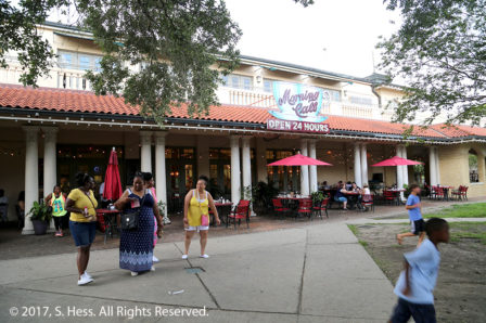
We had limited opportunity to take pictures because we only made one stop in City Park. The park is considerably bigger than New York’s Central Park.  It contains gulf courses, The New Orleans Museum of Art, a sculpture garden with original art, and the Morning Call Café.

Morning Call in City Park
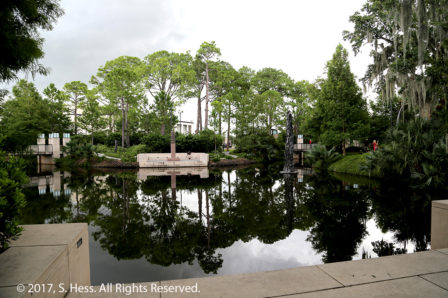
A pool in the Sculpture Garden
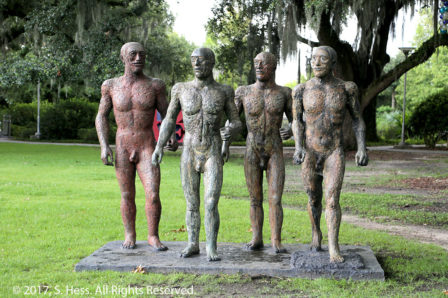
Riace Warriors by Elisabeth Frink
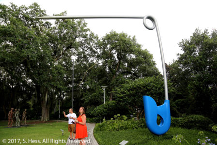
Corridor Pin, Blue by Claes Oldenburg and Coosje van Bruggen. Imagine the diaper this held together .
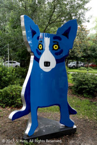
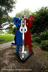
We Stand Together by George Rodrigue. There is a blue dog, a yellow dog and red dog. When you view the sculpture from the angle below you get a two-toned dog.
We Stand Together at a different angle
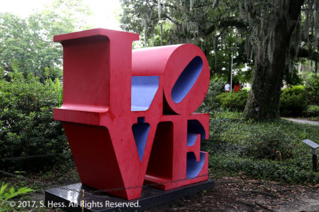
Love, Red and Blue by Robert Indiana. We understand that this is the original sculpture

Ozzie Laporte Jr, our tour guide, gave me access to his collection of New Orleans pictures. The pictures are the property of Mr. Laporte and are used with his permission.

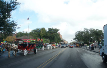
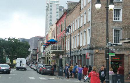
Decatur Street at Jackson Square
Decatur and St Louis Streets, French Quarter
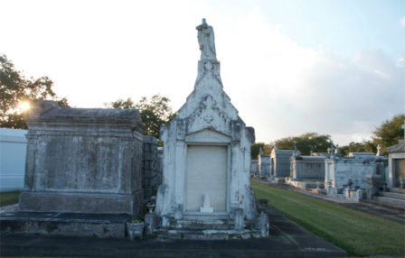
Cemetery
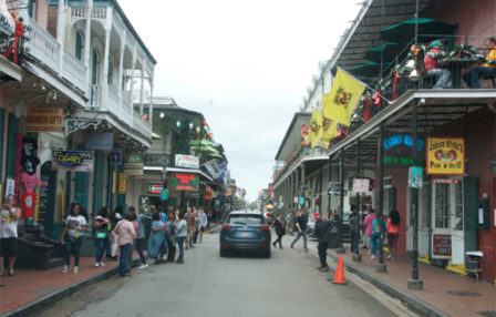
French Quarter Scene
French Quarter scene
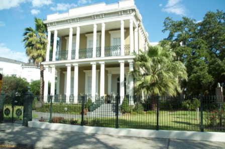
St. Charles Street
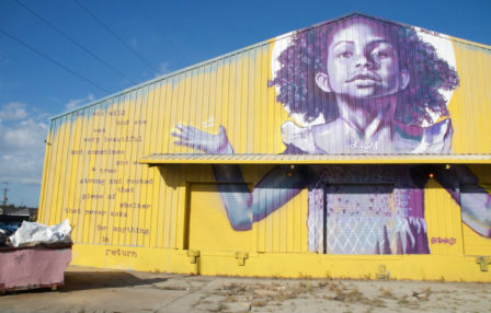
New Orleans Girl Fight Gallery

Ozzie, our tour operator dropped us off at the hotel and after a quick bite we were on the move again. We walked to the French Market and back (see dotted line on map). This is a milestone for Susie… the round trip is 2.2 miles. This is the furthest she walked since she broke her kneecap. The walk to the World War II Museum and back was the previous record at a mile. We stopped periodically to give Susie a break.

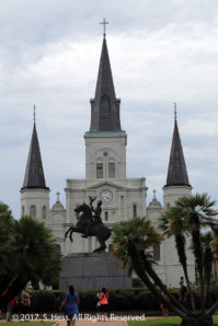
Jackson Square with St Louis Cathedral in the center background
Andrew Jackson statue in Jackson Square
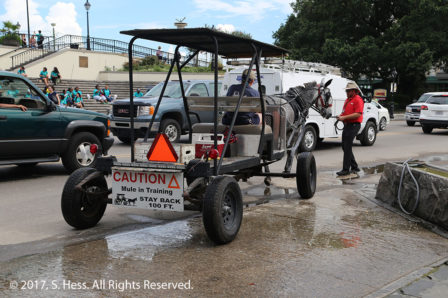
As were walking by Jackson Square we saw this mule in training. It was spooked by a puddle of water and had to be walked through it.
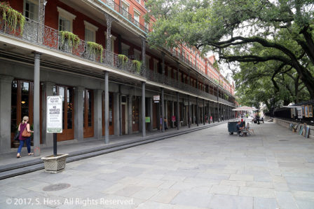
St Peter Street adjacent to Jackson Square. I don’t remember ever seeing it so quiet.
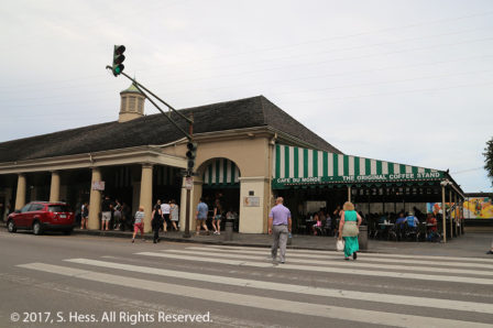
Café Du Monde
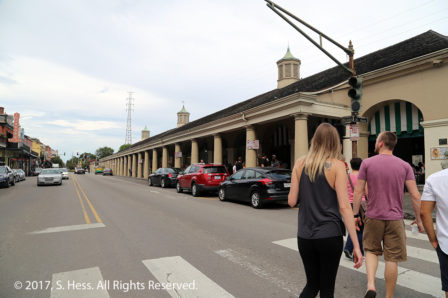
Part of the French Market adjacent to Café du Monde
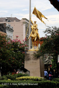
Joan of Arc statue near the French Market

Reaching the End of the Great River Road

On this trip we followed the Mississippi River from Hannibal, MO using local roads only. While we deviated to smaller local roads, our primary route was US 61. Driving from Baton Rouge to New Orleans using I-10 would normally take a little more than an hour to complete. Staying with our plan to run on local roads took us around three hours, not counting stops. Fittingly, the second half of the trip was on US 61.

The weather forecast for this morning was for scattered storms along our route. As we left the hotel we could see ominous dark clouds on the horizon and hear the rumble of thunder. We hit rain about 15 minutes into the trip and ran through a series of showers for the next 20-30 minutes. It stayed partly cloudy and dry for the rest of the trip to New Orleans.

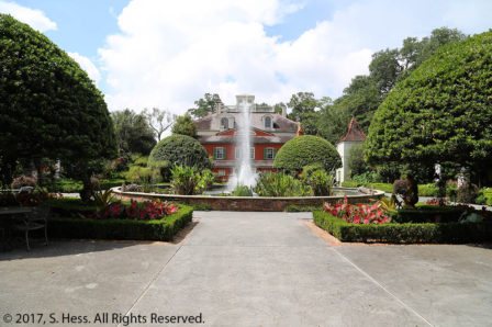
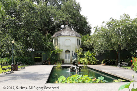
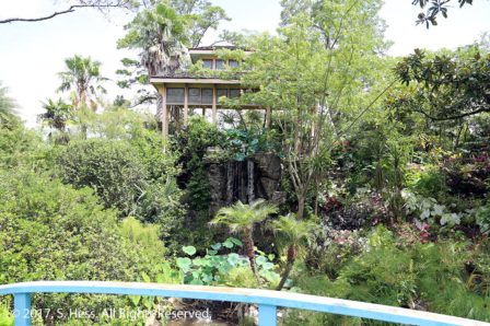
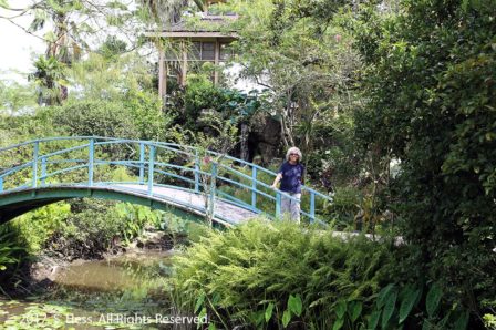
Our first stop was the Houmas House Plantation (see The Sugar Palace, a YouTube Video). This plantation house is called the “The Crown Jewel of Louisiana’s River Road.” As was our luck at the Rosedown Plantation, we just missed the house tour so, a bit disappointed, we opted for the self guided garden tour. The Houmas house property, which included the site of the house and thousands of acres of land, was purchased from the Houmas tribe and named after them. The house has gone through several owners and design changes. Interestingly, we know that the plantation had many slaves, but saw no slave housing.

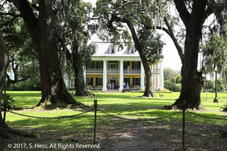
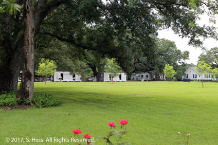
The Oak Alley at Houmas House Plantation
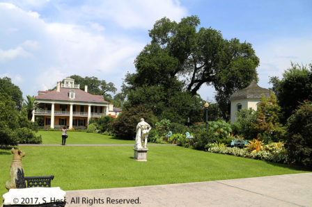
East side of Houmas House
Rear of Houmas House
Neptune’s Fountain at Houmas House
Japanese Garden at Houmas House
Susie at the Japanese Garden at Houmas House

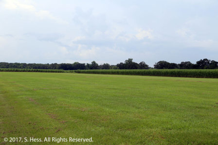
Sugar made a lot of the plantation owners rich and they built a number of ornate plantation houses for themselves and their family. Some of the mansions still exist along the river south of Baton Rouge and several are open to the public. We had wanted to see Oak Alley Plantation. However when we got to the parking lot we could see that it was fairly full and several tour busses were parked. We figured that it would take quite a while before we could get on a tour and left. Before we left I managed to get pictures of the slave quarters from the vicinity of the ticket booth. As you travel along the river you can travel for miles and have the levee on one side of the road and sugarcane fields on the other. Agriculture is not the main economic force along the river… oil production and processing plants are a frequent sight.

Slave quarters at Oak Alley Plantation
Sugarcane Fields

After we left Oak Alley, we headed across the river and picked up US 61 for the run to New Orleans, one of our favorite cities. One of the reasons we are stopping in New Orleans is to meet Susie’s cousin Kathy, who, like her sister Susan in St Louis, is a cousin we have never met.